Building Description
Description
Conceptual Site Narrative:
20,330.80 SF Mixed-Use Development Site. Prime Infill Mixed-Use Site Atlantic Ave & 11th–12th Avenues Delray Beach, FL.
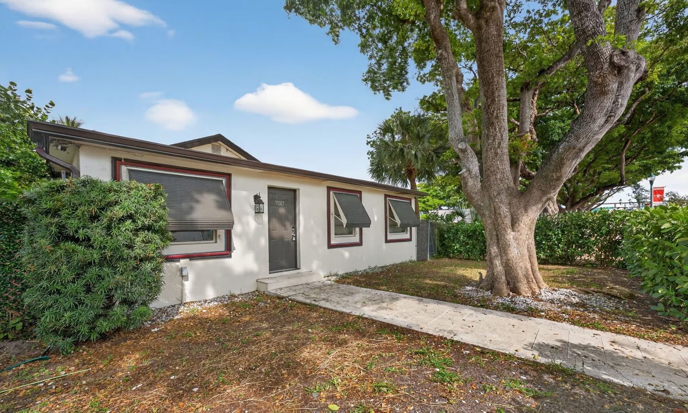
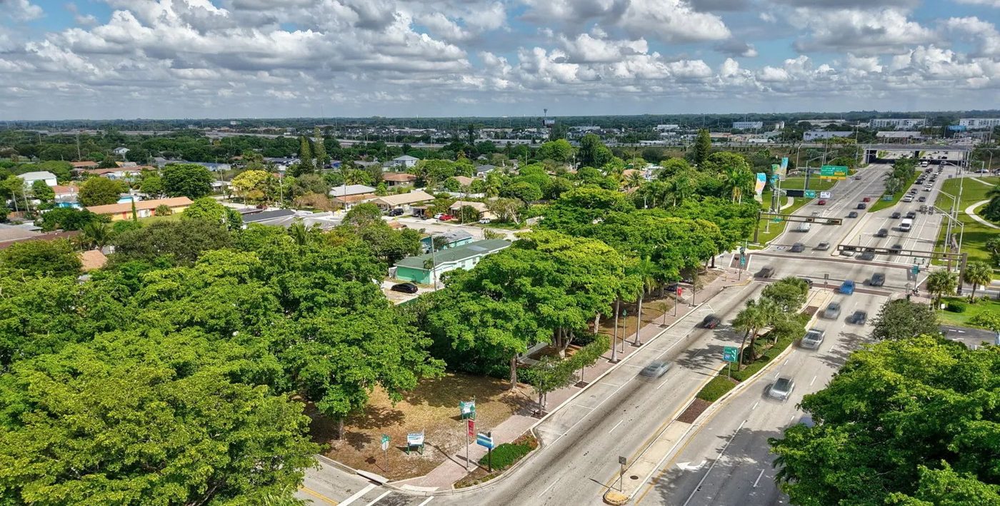
This ±20,330.80 SF (±0.47 AC) land assemblage along West Atlantic Avenue represents a rare, highly visible infill opportunity within Delray Beach’s Central Business District (CBD), West Atlantic Neighborhood sub-district. The site offers dual corner exposure at NW 11th Avenue and W. 12th Avenue with continuous Atlantic Avenue frontage, creating excellent identity and access for a future mixed-use project.
Planning / Zoning Framework (CBD – General Commercial / West Atlantic Neighborhood)
Zoning: CBD – Central Business District, West Atlantic Neighborhood sub-district (General Commercial context).
Density & FAR – Conceptual Assumptions
3.1 Code-based density framework (du/ac)
From the CBD dimensional table (West Atlantic Neighborhood column):
Base residential density: 12 du/acre in the West Atlantic Neighborhood CBD sub-district, with a note referencing the CBD Incentive Program for potential density increases.
On this ±0.47-acre site (±20,330.80 SF): Base CBD density (12 du/ac) ˜ 5–6 units.
CBD incentive provisions may allow increases (e.g., toward 30 du/ac, subject to program criteria and approvals).
Uses by right / principally permitted (per CBD table):
General retail and service uses “as in GC district” (excluding big-box style auto parts, lawn equipment, etc.)
Business, professional, and medical office, Multiple-family dwellings, Live/work units, Hotels / inns, assisted living / senior housing (as permitted in CBD)
Form controls (CBD generally):
Max building height 4 stories / 54 feet outside the Atlantic Avenue Limited Height Area (this West Atlantic site is outside the limited-height core).
Urban setbacks (10–15 ft along streets), minimal side/rear setbacks, strong frontage requirements to reinforce a walkable main-street pattern.
Within the West Atlantic Neighborhood sub-district, sidewalk-level frontage on Atlantic is intended to be activated with retail and service uses, with upper floors transitioning to residential and office, consistent with the City’s West Atlantic revitalization goals.
Approved Uses by Zoning — Central Business (CBD - General Commercial District)
Uses permitted by right under the municipality’s zoning for this district. The property may carry additional restrictions (deed, association or lease), so tenants are responsible for confirming their intended use with the municipality and landlord before committing.
Allowed by right
General retail uses and/or facilities, as in GC district (sales of automotive parts, lawn care equipment, firearms or secondhand material other than verifiable antiques not allowed on Required Retail Frontage streets or anywhere in West Atlantic), Business, professional, and medical uses, as in GC district, Services and facilities, as in GC district, excluding drive-through facilities (drive-thru and drive-in restaurants not permitted within CBD), Multiple-family dwellings (density limits per Table 4.4.13(C); not in sidewalk-level story on Required Retail Frontage streets), Live/work units (see Sec. 4.3.3(KKK)), Public Parking Garages, as mapped on a Regulating Plan (Secondary Street use), Tattoo Establishments (see Sec. 4.3.3(ZB); not permitted in required sidewalk-level retail frontage in Central Core and Beach), Veterinary Clinics (see Sec. 4.3.3(W)), Nursing homes, abused spouse residences, continuing care facilities, and assisted living facilities that do not comport with the definition of community residence (permitted in Central Core, Railroad Corridor, Beach, West Atlantic; conditional in South Pairs), Hotels, motels, and residential-type inns (permitted in Central Core, Railroad Corridor, Beach; conditional in West Atlantic and South Pairs), Bed and breakfast inns (permitted in Central Core, Railroad Corridor, Beach; conditional in West Atlantic and South Pairs), Urban Agriculture excluding outdoor Urban Farms (permitted and accessory in Central Core, Railroad Corridor, West Atlantic, South Pairs; prohibited in Beach), Community residence housing four to ten individuals (permitted if at least 660 ft from another community residence and operator licensed/certified/accredited; otherwise conditional)
With special approval
Child care facilities and adult day care facilities, Commercial recreational facilities, such as bowling alleys, skating rinks, and amusement game facilities, Drive-through facilities (serving banks, financial institutions, retail uses, etc.), Funeral homes, including accessory uses such as a chapel or crematory, Large family child care homes, Segway tours and Segway sales, Theaters, excluding drive-ins, Pet Services, 24-hour or late-night businesses within 300 feet of residential zoned property, Outdoor Urban Farms, Gasoline stations and/or car washes (conditional in Central Core, Railroad Corridor and South Pairs; prohibited in Beach and West Atlantic), Pet Hotels (only in Railroad Corridor and South Pairs), Astrologists, clairvoyants, fortune tellers, palmists, phrenologists, psychic readers, spiritualists, numerologists and mental healers (permitted use only in South Pairs Neighborhood; max one per 300 ft), Fabrication and/or Assembly (permitted use only in Railroad Corridor), Wholesaling, Storage, and Distribution (permitted use only in Railroad Corridor; not self-storage; substances under 55 gallons of Wellfield-listed materials), Contractor and trade services (permitted use only in Railroad Corridor and South Pairs Neighborhood), Automobile brokerage, including vehicle display within an enclosed structure (permitted use only in Railroad Corridor), CBD Oil Establishments (permitted use only in Central Core and Railroad Corridor; not permitted in the Central Core/Beach sidewalk-level frontage per Sec. 4.4.13(C)(3)), Automated Parking Garages (only in Railroad Corridor; Secondary Street use north of NE 2nd Street), Automobile repair, service (conditional only in Railroad Corridor), Food Preparation and/or Processing including bakeries and catering (conditional only in Railroad Corridor), Dry-cleaning Processing Plants (conditional only in Railroad Corridor), Neighborhood Automotive Rental facility (conditional only in South Pairs Neighborhood), Clubs and Lodges as in GC (conditional only in South Pairs Neighborhood), Flea Markets, Bazaars as in GC (conditional only in South Pairs Neighborhood), Sales and service of all terrain vehicles and personal watercraft as in GC (conditional only in South Pairs Neighborhood), Vehicle care limited to changing of oil and filters and lubrication (conditional only in South Pairs Neighborhood), Churches or places of worship (conditional only in West Atlantic Neighborhood and South Pairs Neighborhood)
Read the full CBD - General Commercial District zoning guide ›