Location MapClick to explore · switch to satellite inside the map
Photo
1 / 2
Floor Plan
Floor plan not available yetAsk us and we'll get it to you as soon as it's available.
Building Description
Executive Summary
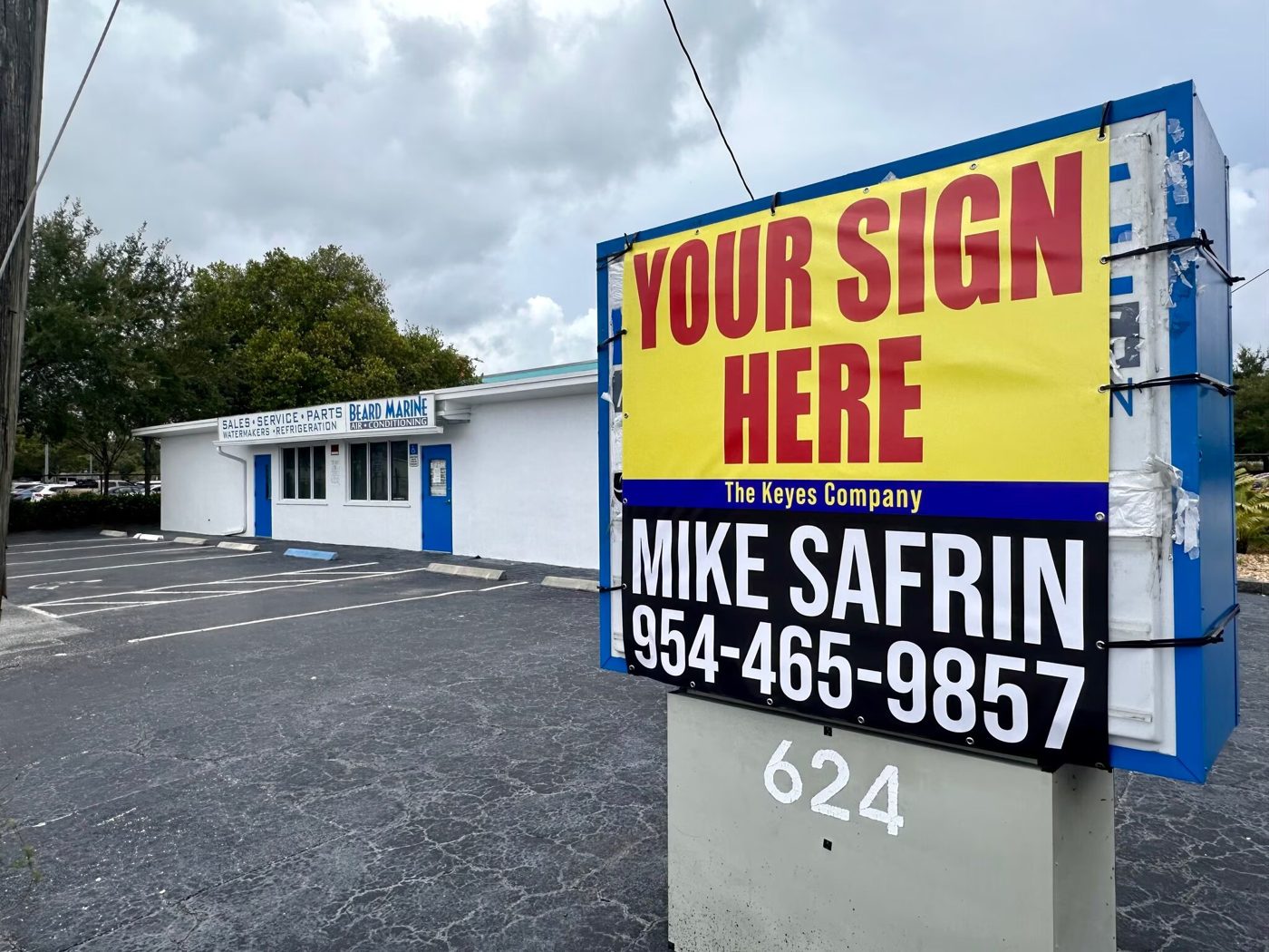
MARINA MILE BLVD FRONTAGE / FREE STANDING BUILDING
Located in the heart of Fort Lauderdale on Marina Mile.
Rare opportunity to purchase a free-standing building with outstanding frontage and visibility on Marina Mile Blvd.
Can be used as medical, post office, police/fire office, religious facility, storage, or marine retail.
1,587 sq ft building sitting on a 6,325 sq ft lot
5' X 5' Monument sign on SR 84.
Hard non-signalized corner: SR 84 & SW 6th Ave.
Impact glass, CBS Consruction, newer roof & A/C.
Easy access to downtown Ft Lauderdale, I95, 595, FLL Airport, Port Everglades & Marina Mile Yacht basins
Amenities24 Hour Access; Bus Line; Controlled Access; Signage; Monument Signage; Air Conditioning
Walk Score50/100
Approved Uses by Zoning — Community Facility (CF)
Uses permitted by right under the municipality’s zoning for this district. The property may carry additional restrictions (deed, association or lease), so tenants are responsible for confirming their intended use with the municipality and landlord before committing.
Allowed by right
Public Facilities: Active and Passive Park, see Sec. 47-18.44, Public Facilities: Civic and Private Clubs, Public Facilities: Child Day Care Facilities, see Sec. 47-18.8, Public Facilities: Courthouse, Public Facilities: Cultural, Educational and Civic Facility, Public Facilities: Fire Facility, Public Facilities: Government Administrative Office, Public Facilities: House of Worship, Public Facilities: Library, Public Facilities: Nursing Home, see Sec. 47-18.23, Public Facilities: Museum and Art Gallery, Public Facilities: Parking Facility, see Sec. 47-20, Public Facilities: Police Facility, Public Facilities: Post Office, Branch/Substation, Public Facilities: Public/Private Meeting Rooms, Public Facilities: Public Maintenance and Storage Facility, Public Facilities: Senior Citizen Center, see Sec. 47-18.30, Public Facilities: School, not including Trade School, Public Facilities: Transportation Terminal, Railroad Bus Station, Public Facilities: Food Distribution Center, see Sec. 47-18.31, Public Facilities: Social Service Facility - General, see Sec. 47-18.31
With special approval
Public Facilities: Cemetery, Crematory, Columbarium, Mausoleum, Public Facilities: College, University, Public Facilities: Detention Center, Jail, Public Facilities: Helistop, see Sec. 47-18.14, Public Facilities: Hospital, Medical and Public Health Clinic, Public Facilities: Indoor Firearms Range, see Sec. 47-18.18, Public Facilities: Marina, see Sec. 47-23.8, Public Facilities: Social Service Residential Facility, see Sec. 47-18.32, Public Facilities: Addiction Treatment Center, see Sec. 47-18.31, Utilities: Communication Tower, Structure and Station (see Sec. 47-18.11), Utilities: Radio Broadcast Facility
Figures for the census tract this property sits in — the immediate surrounding neighborhood (roughly ½–2 sq. mi). For distance‑based totals, see the 1 / 3 / 5‑mile rings below.
4,892
Population
$109,000
Median Household Income
46
Median Age
2,206
Households
$466,200
Median Home Value
Household Income of 2,206 households
<$50k373 17%
$50–100k616 28%
$100–150k427 19%
$150k+790 36%
Age of 4,892 residents
Under 18590 12%
18–341,008 21%
35–541,651 34%
55–64798 16%
65+845 17%
Trade-Area Rings · Distance from Property
Everyone living within a straight‑line radius of the property — the classic retail trade area. Each ring is cumulative (the 3‑mile total includes the 1‑mile).
1 Mile
10,930
population
4,740 households
$122,422 avg income
3 Miles
99,840
population
42,827 households
$120,053 avg income
5 Miles
276,402
population
113,823 households
$103,342 avg income
Frontage Traffic vs. Palm Beach County's Busiest Roads
This property fronts W State Road 84. Below, its measured daily traffic (FDOT count) is compared to five of the county's busiest roads — I‑95, Florida Turnpike, Okeechobee Blvd, US‑1/Federal Hwy, and Military Trail (approximate peak AADT) — to show how much exposure the location gets.
62,000vehicles / day on W State Road 84 (AADT)
I‑95 (interstate)255,000
Florida Turnpike95,000
Okeechobee Blvd62,000
◆ W State Road 8462,000
US‑1 / Federal Hwy46,000
Military Trail40,000
This frontage carries about 24% of I‑95's volume — strong major‑arterial exposure. County roads shown are approximate peak AADT.
FDOT count stations on W State Road 84 62,000 AADT (2025) 15,100 AADT between SR-84/MARINA BLVD and SW 17 ST (2025) 12,300 AADT between PERIMETER RD/SW34 ST and SR-84/ MARINA BLVD (2025) 6,200 AADT between SW 32 CT (2025)
Risk & Incentives
Not an Opportunity Zone
Street ViewClick to load · then drag to look around